Hunza Valley
Terraces, forts and the world's most beautiful border road.
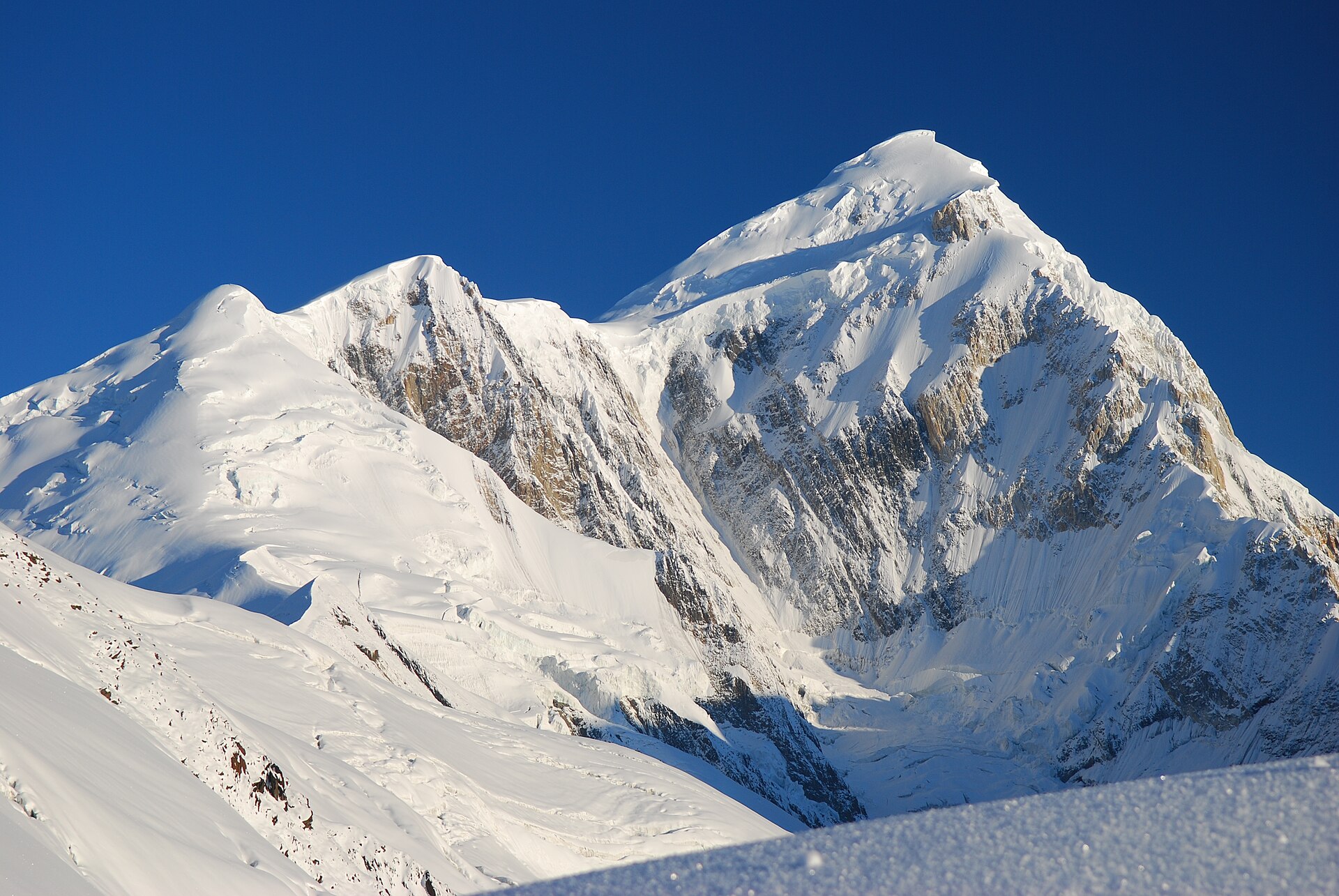
Hunza is a 100-km terraced valley on the Karakoram Highway crowned by Rakaposhi (7,788 m) and Ultar Sar, centred on Karimabad's two royal forts and stretched north through Attabad Lake and Passu to the 4,693 m Khunjerab Pass — the highest paved border crossing on earth. It is Pakistan's most polished travel destination, best in April blossom or October gold.
Hunza's fame began with a rumour of centenarians and stuck because of something more verifiable: the view. From the Eagle's Nest ridge above Duikar, five peaks over 7,000 m stand in a single sweep — a skyline no other inhabited valley on earth matches.
Baltit Fort has watched the valley for 700 years; Altit is older still. Between them, Karimabad's lanes sell apricot oil, Hunza water (ask), and the best coffee north of Islamabad. Half a day with the forts' curators rearranges everything you assumed about 'remote' mountain kingdoms.
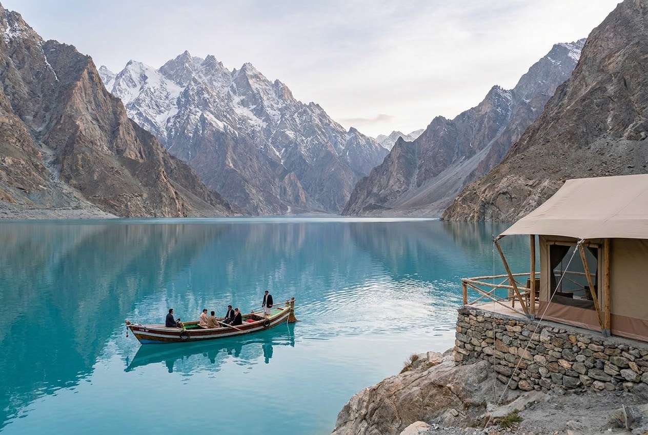
North of Attabad — the lake a 2010 landslide made, now impossibly turquoise — the valley hardens into Gojal: the Passu cathedral cones, Hussaini's swaying bridge, Sost's border bazaar, then the long climb through snow-leopard country to Khunjerab, where China begins at a marble gate.
In and around Hunza Valley
The turquoise accident that became Hunza's crown.
Five 7,000-metre peaks in one slow turn of the head.
The world's most photographed 'dangerous' bridge — safely done.
The cathedral ridge every windshield worships.
4,693 metres. A marble gate. China on the other side.
Seven hundred years of kingdom in one walkable ridge.
Beds worth the altitude
The water-front glass suites on Attabad's impossible turquoise.
Terraced gardens with the whole amphitheatre on stage.
Karimabad's balcony mid-ranger with the million-dollar axis.
Hunza Valley, asked and answered
Which is better, Hunza or Skardu?
Hunza is the polished valley — forts, cafés, the KKH's set pieces. Skardu is the wilder kingdom — deserts, plateaus and the road to K2. They're 270 km apart; the honest answer is the Grand Circuit that joins them.
How many days do you need in Hunza?
Three days covers Karimabad, the forts and Attabad; five lets you reach Khunjerab and Gojal without rushing. Add Skardu and you need nine to ten.
Is Khunjerab Pass open to tourists?
Yes — the pass (4,693 m) is generally open to visitors May–November, weather depending. You'll need your CNIC or passport; SafarGB handles permits and carries oxygen on all Khunjerab days.